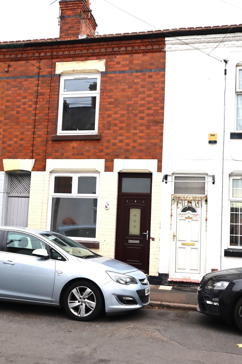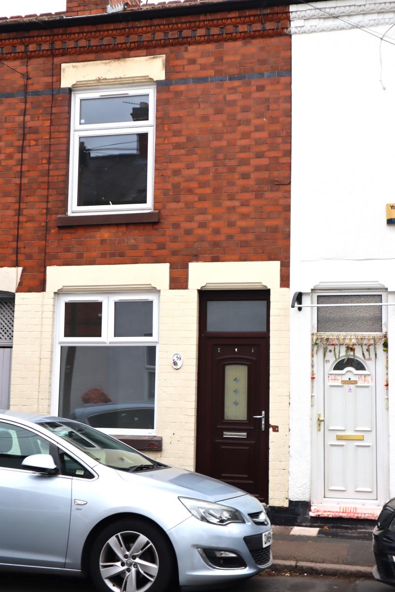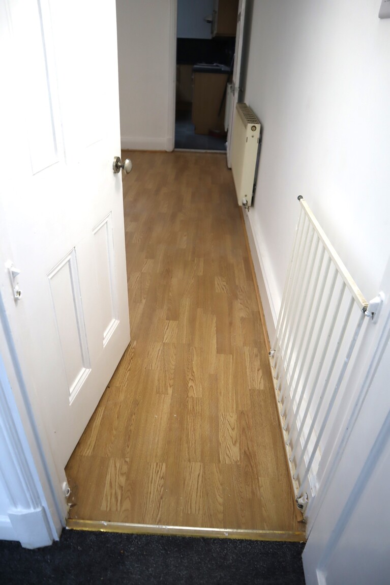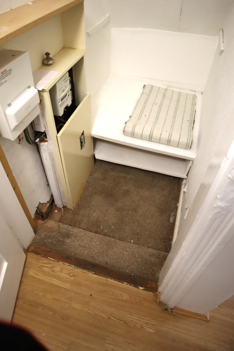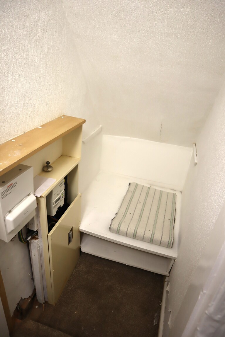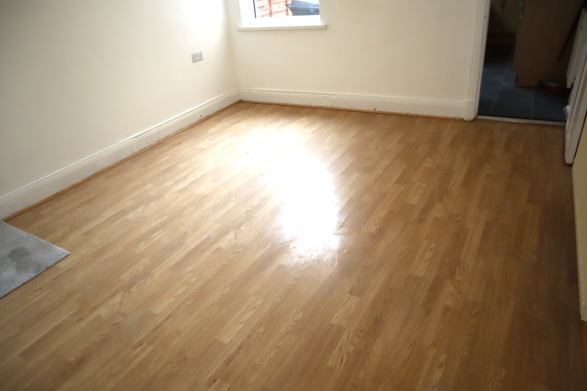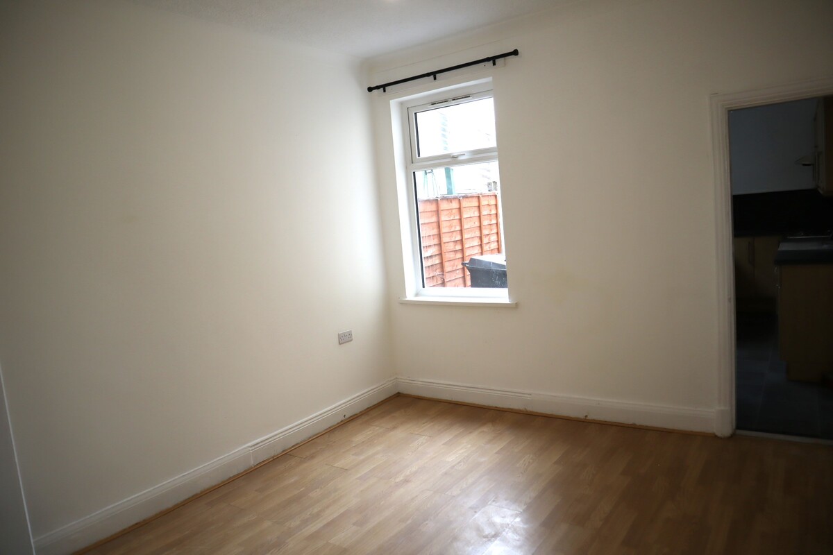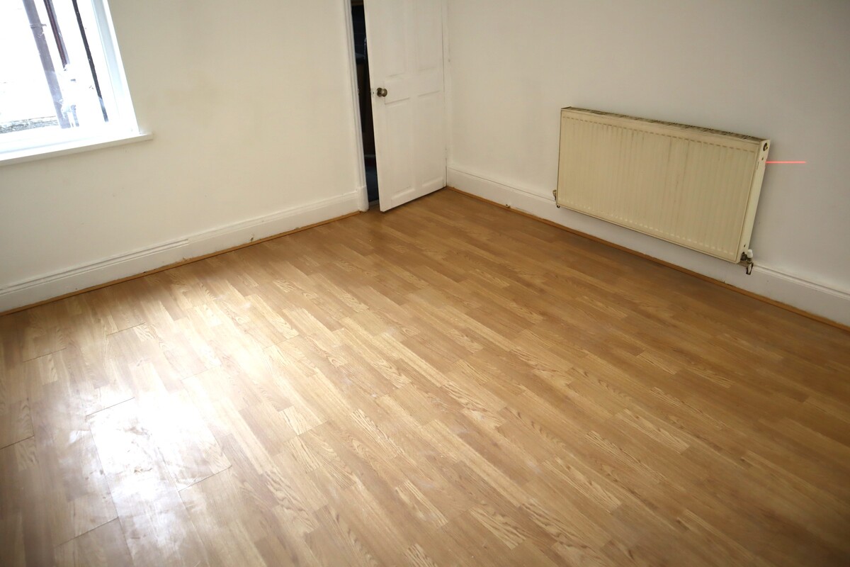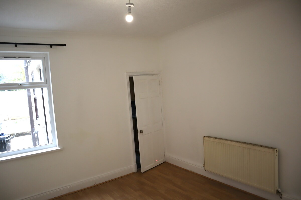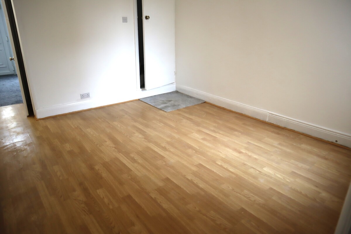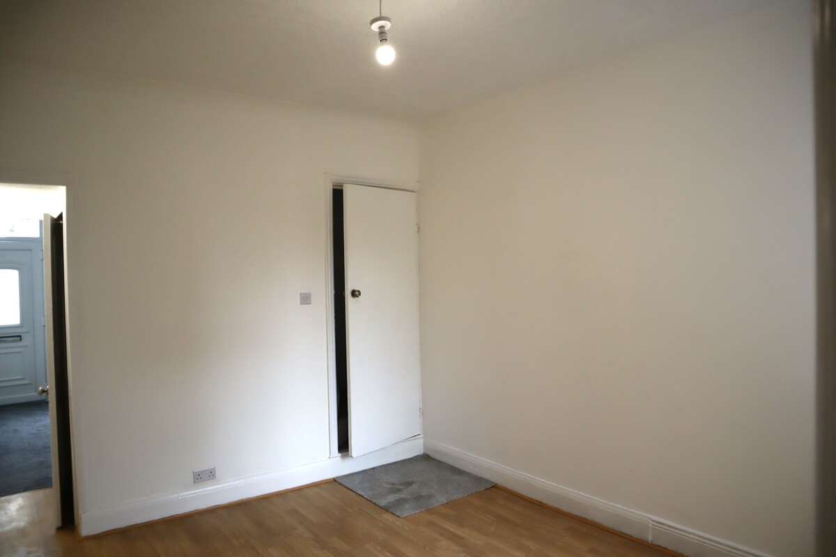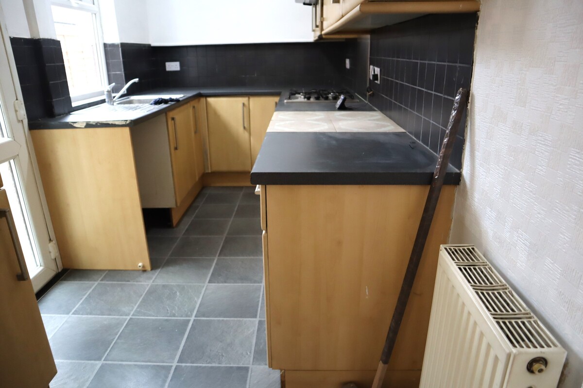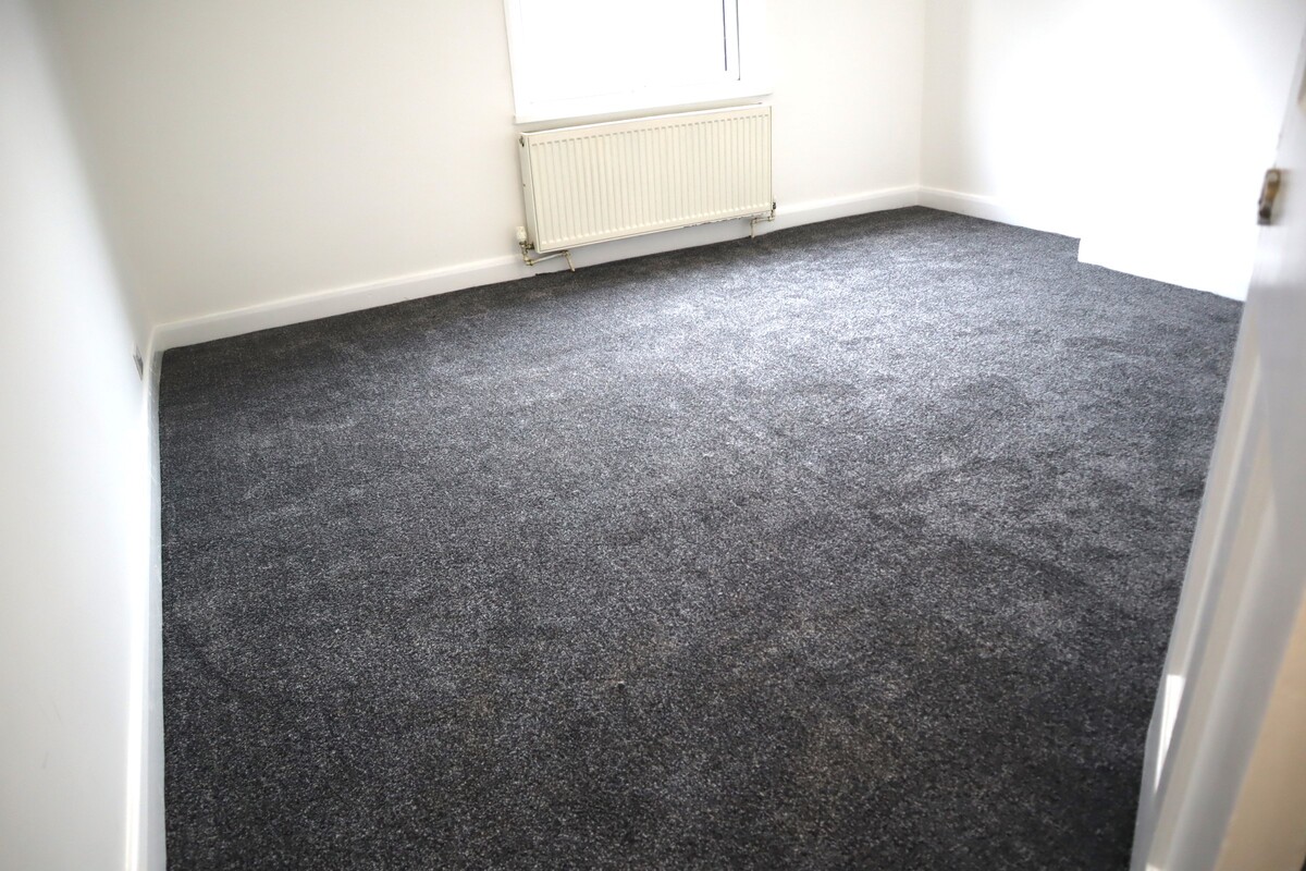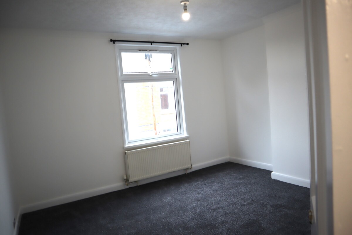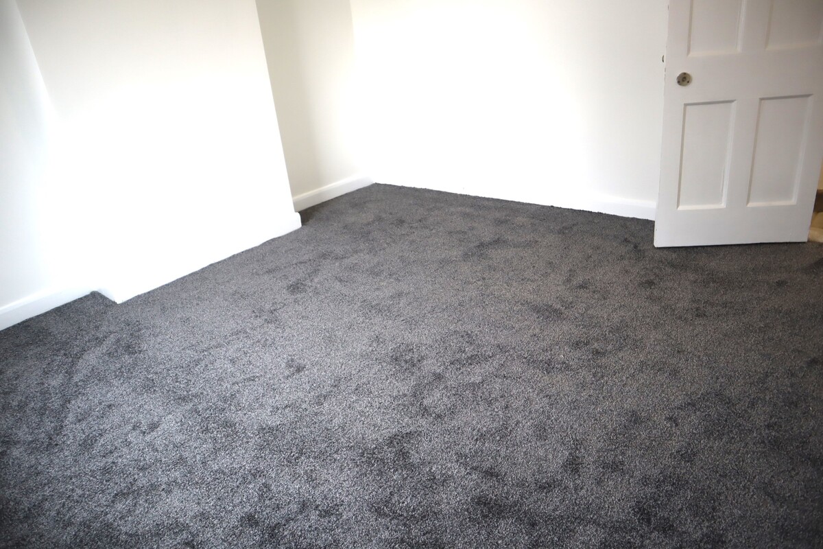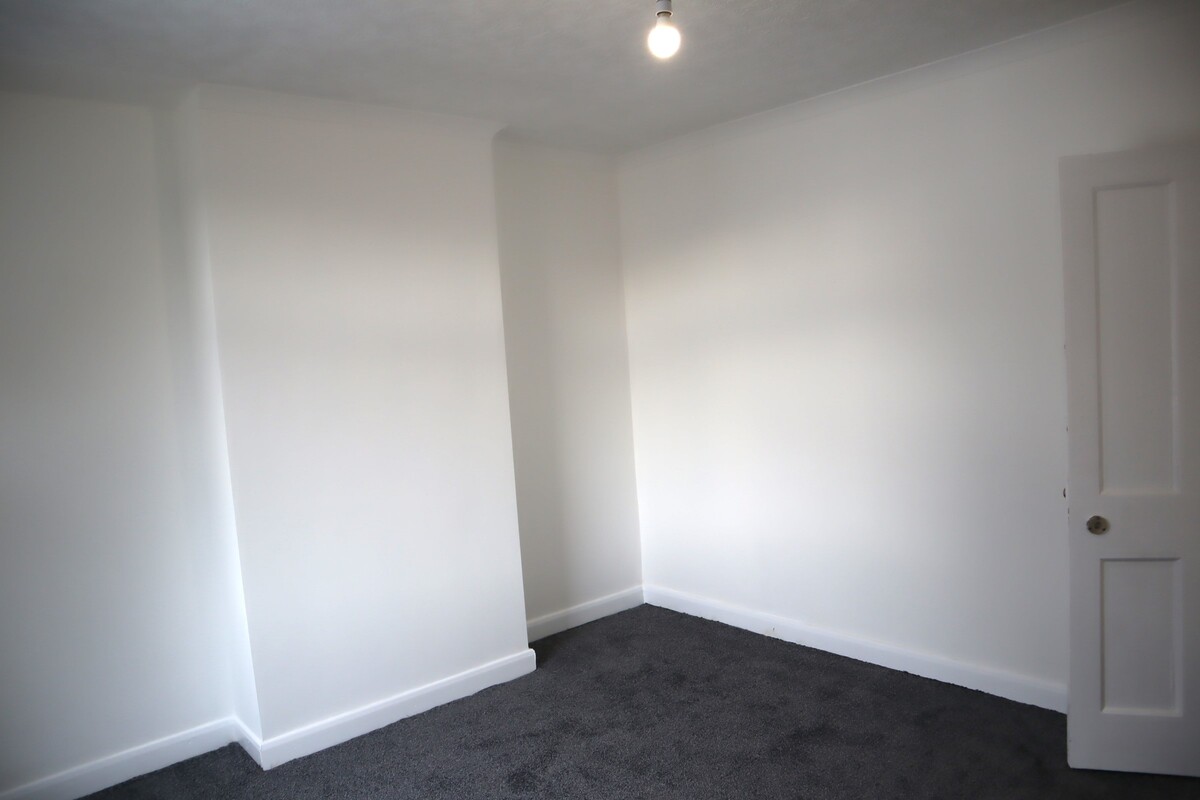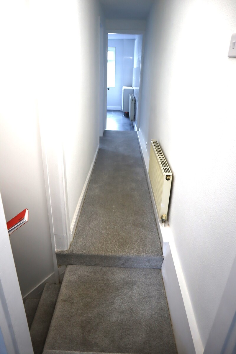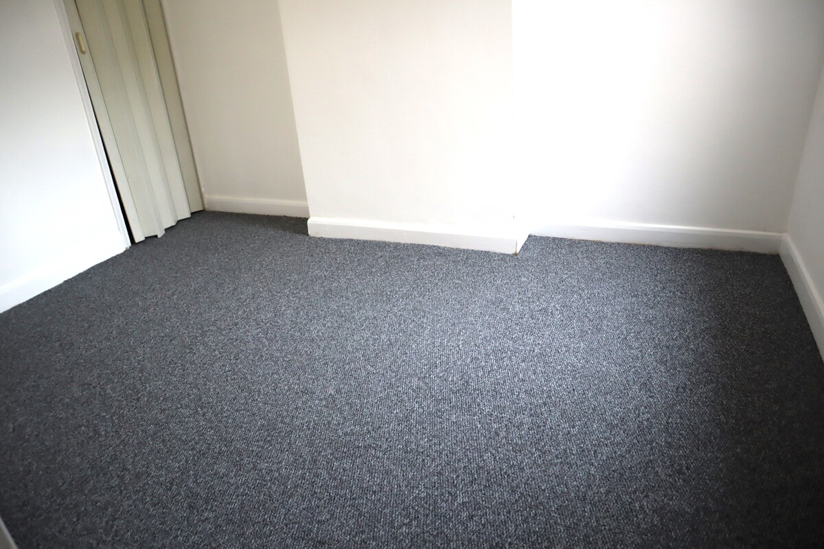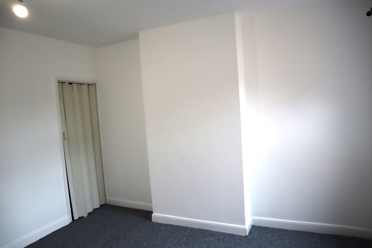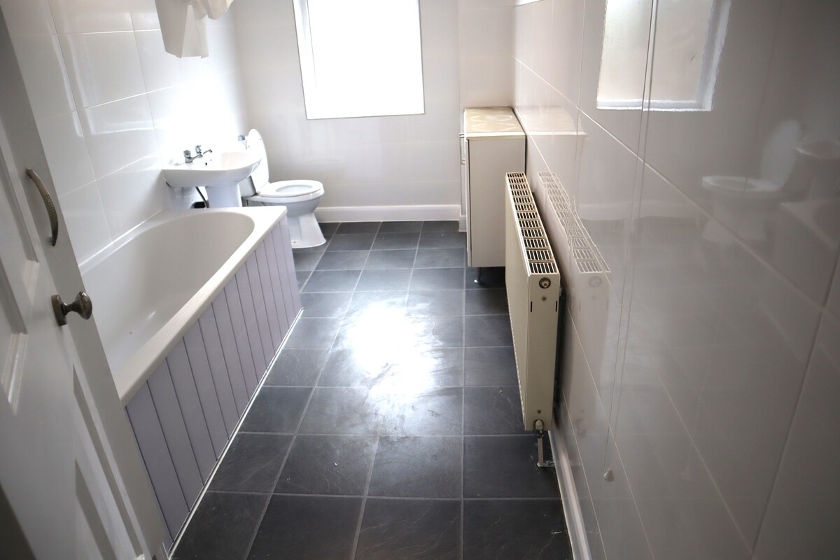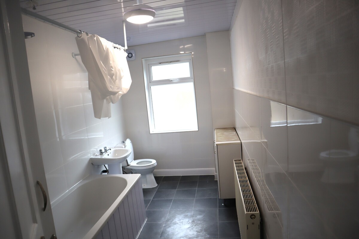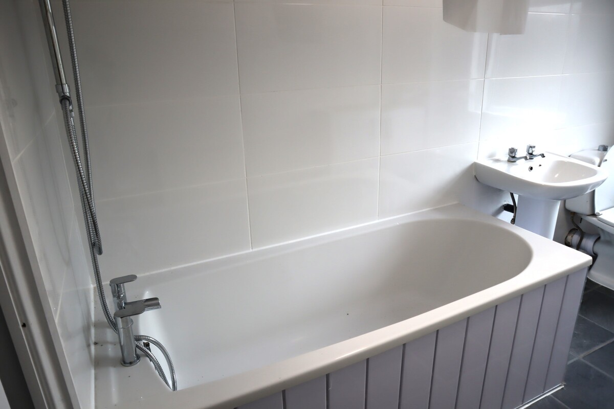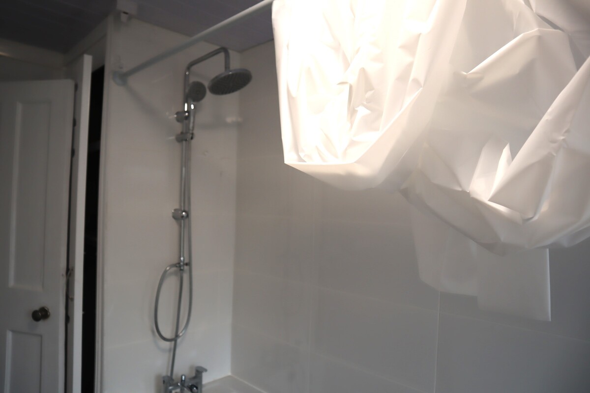

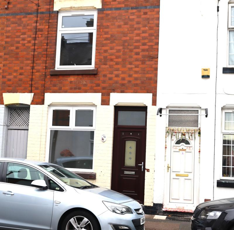
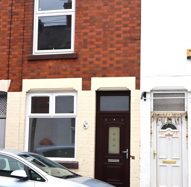
59, Bramall Road, Leicester LE5 0PF
- OFFERS IN THE RANGE OF £1,000
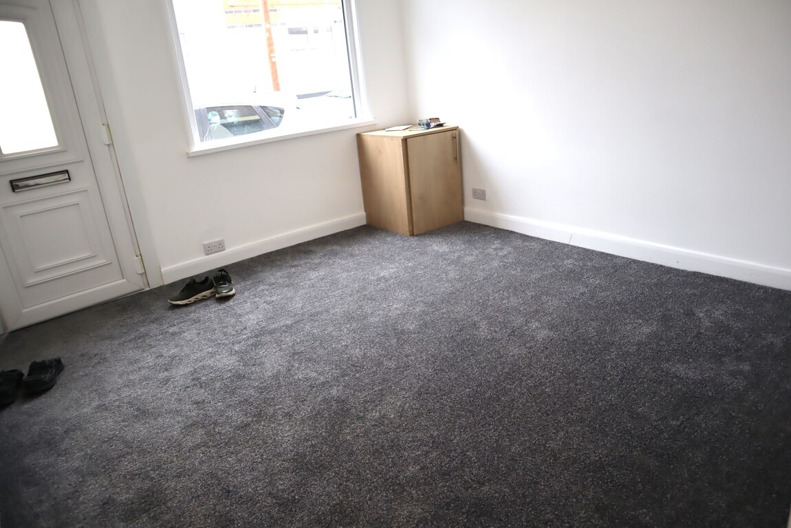
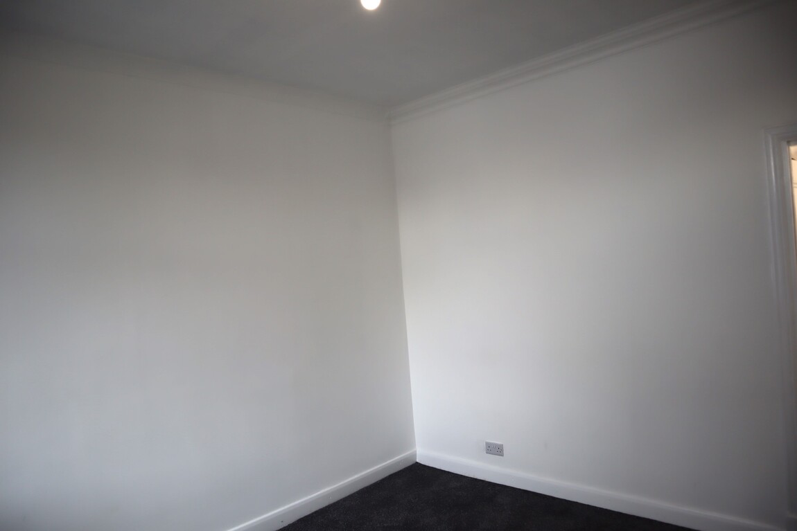
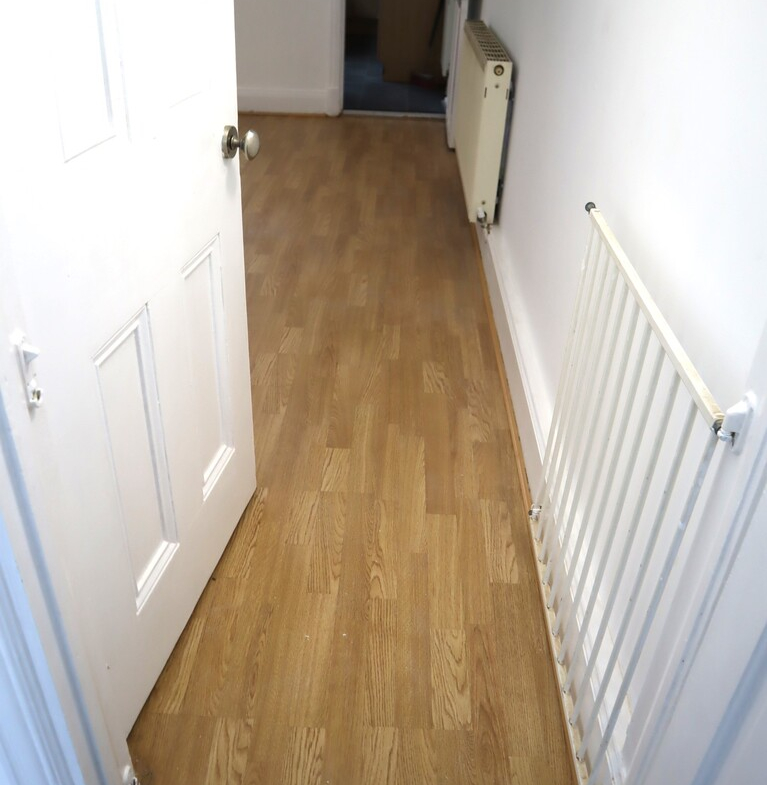
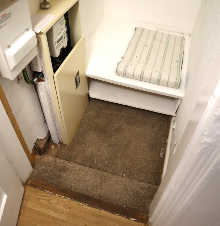
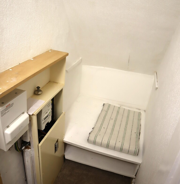
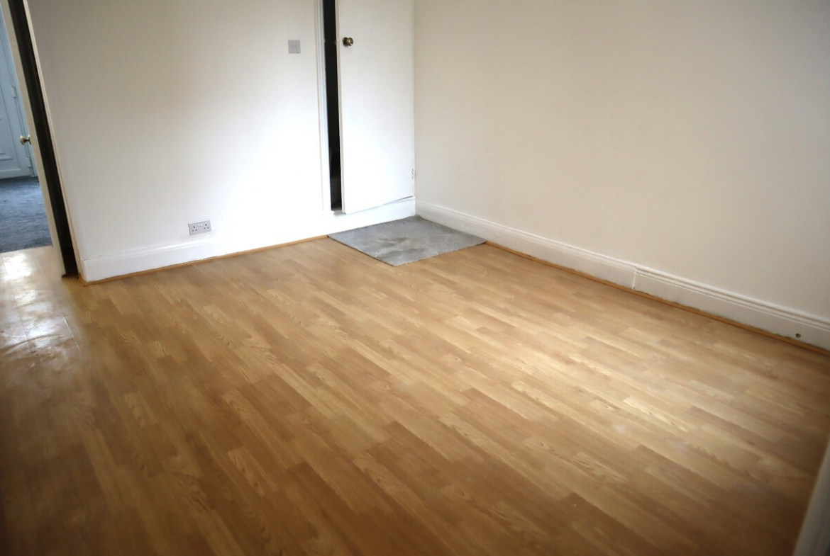
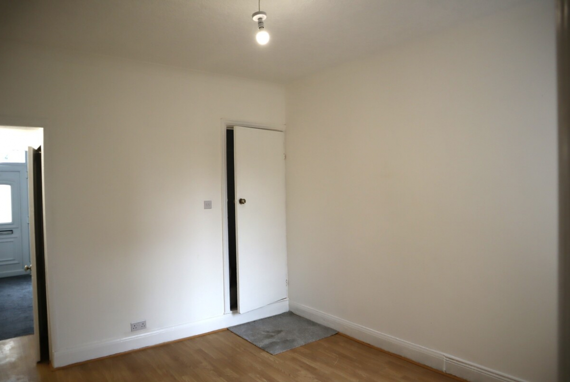
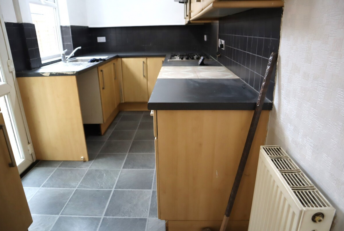
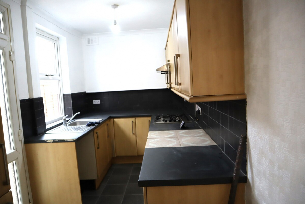
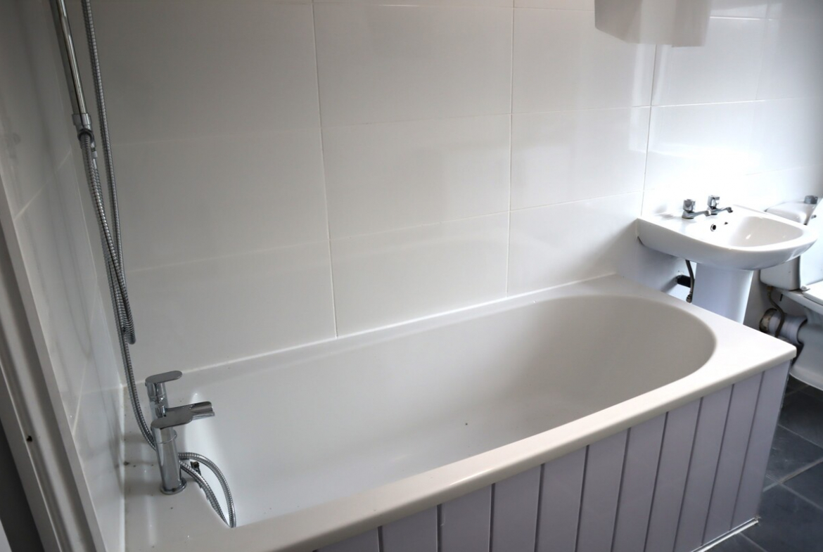
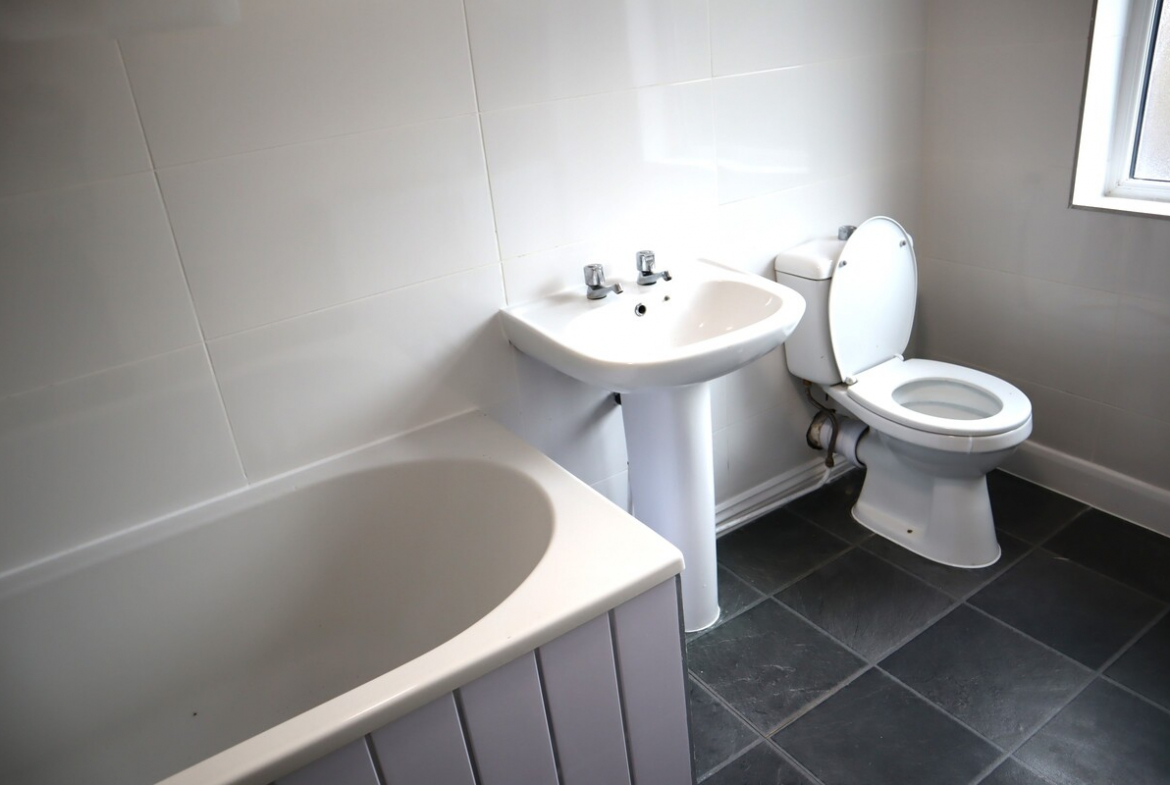
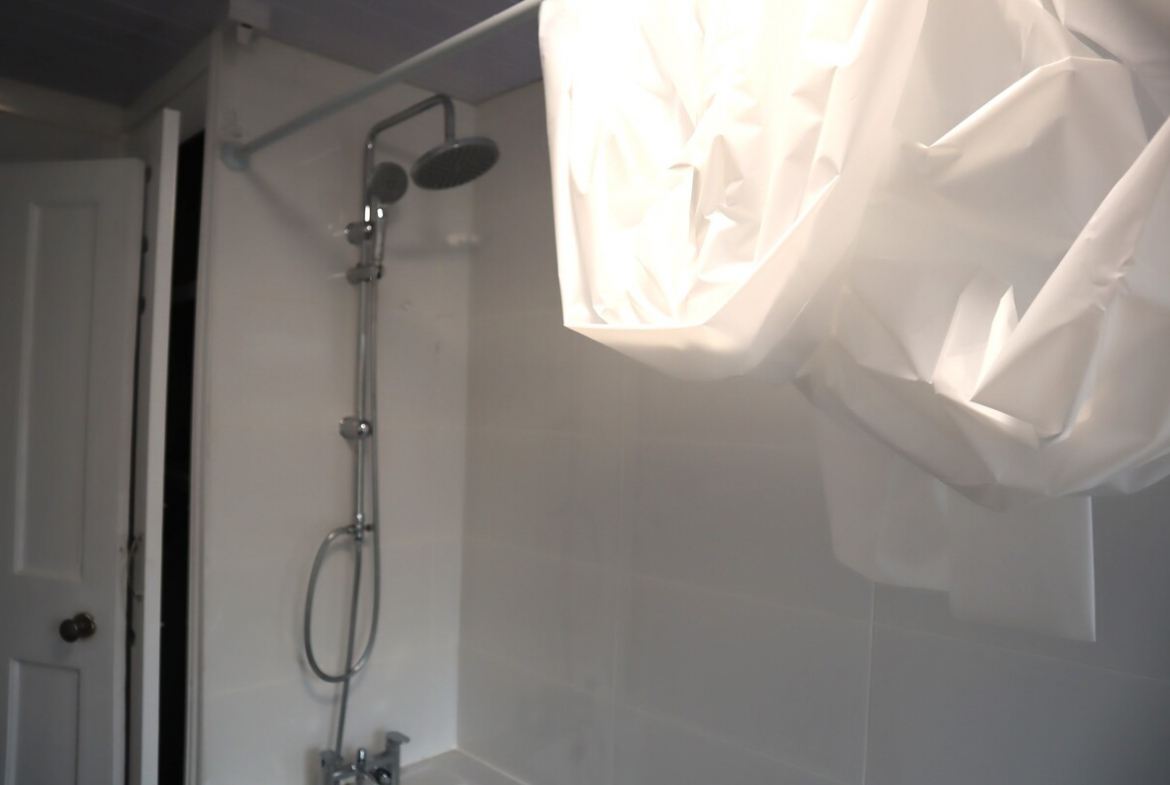
Overview
- 2
- 1
Description
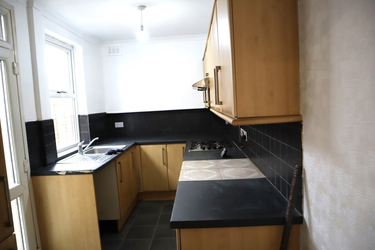
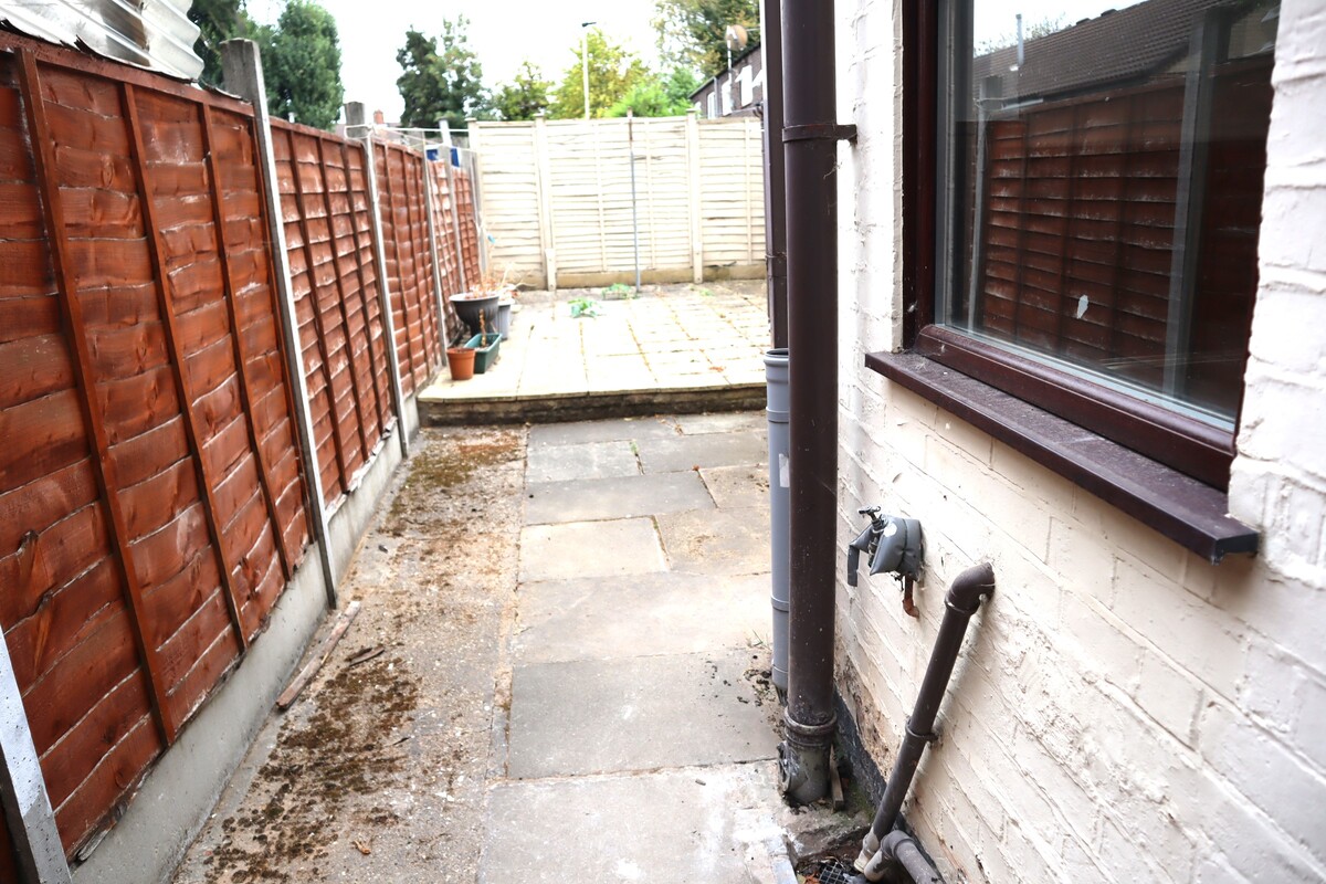
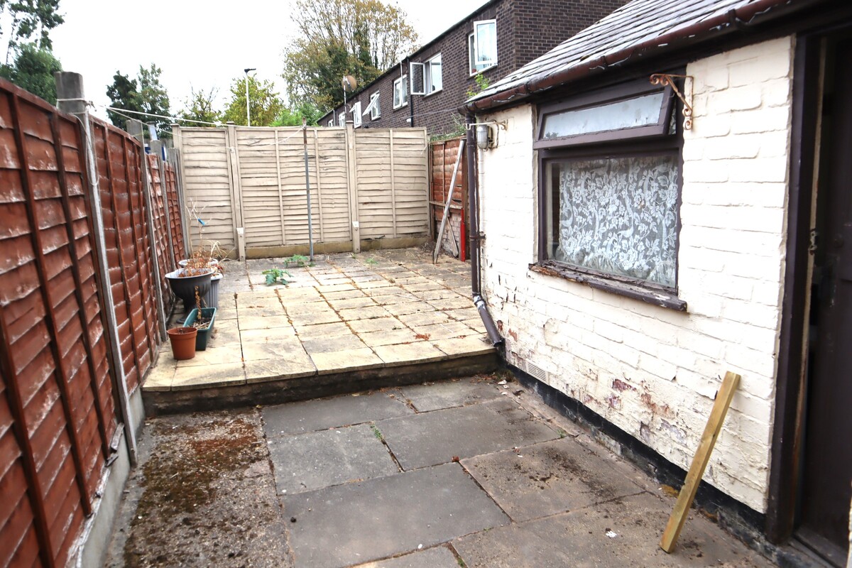
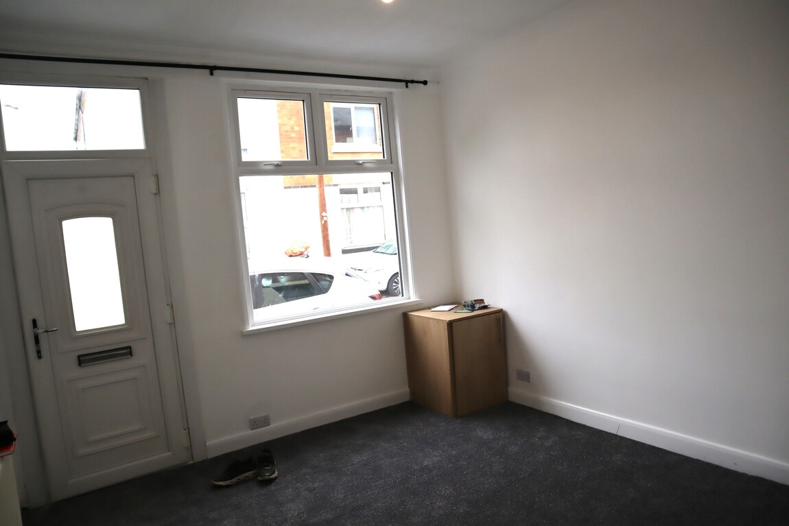
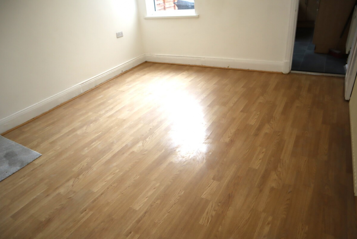
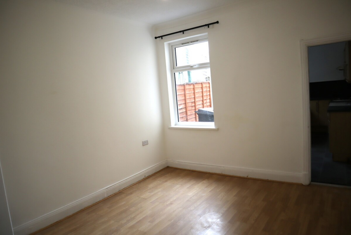
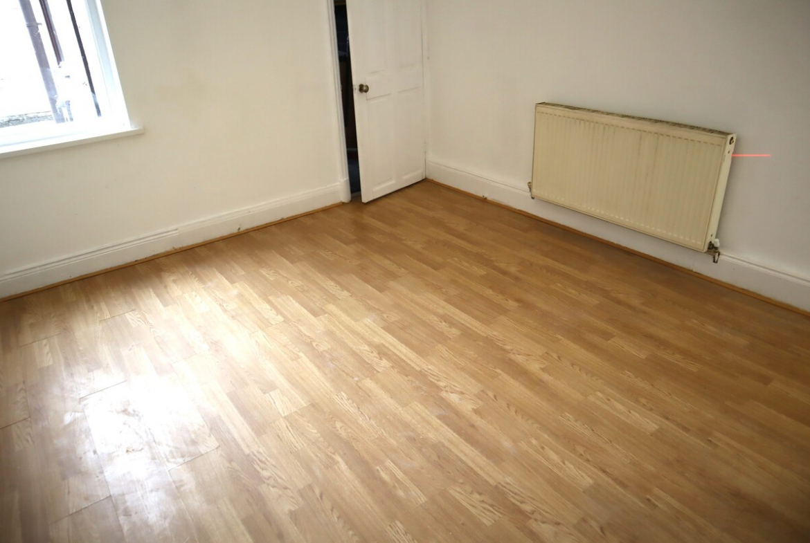
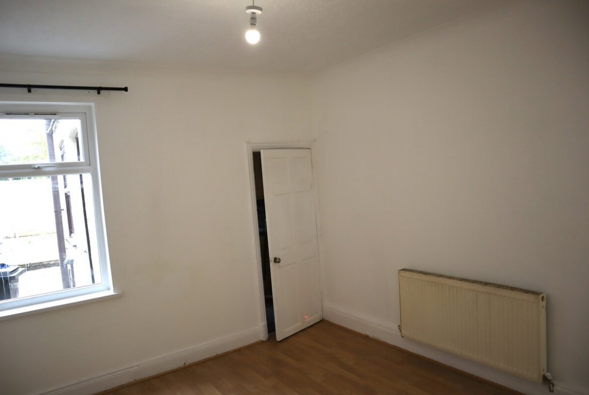
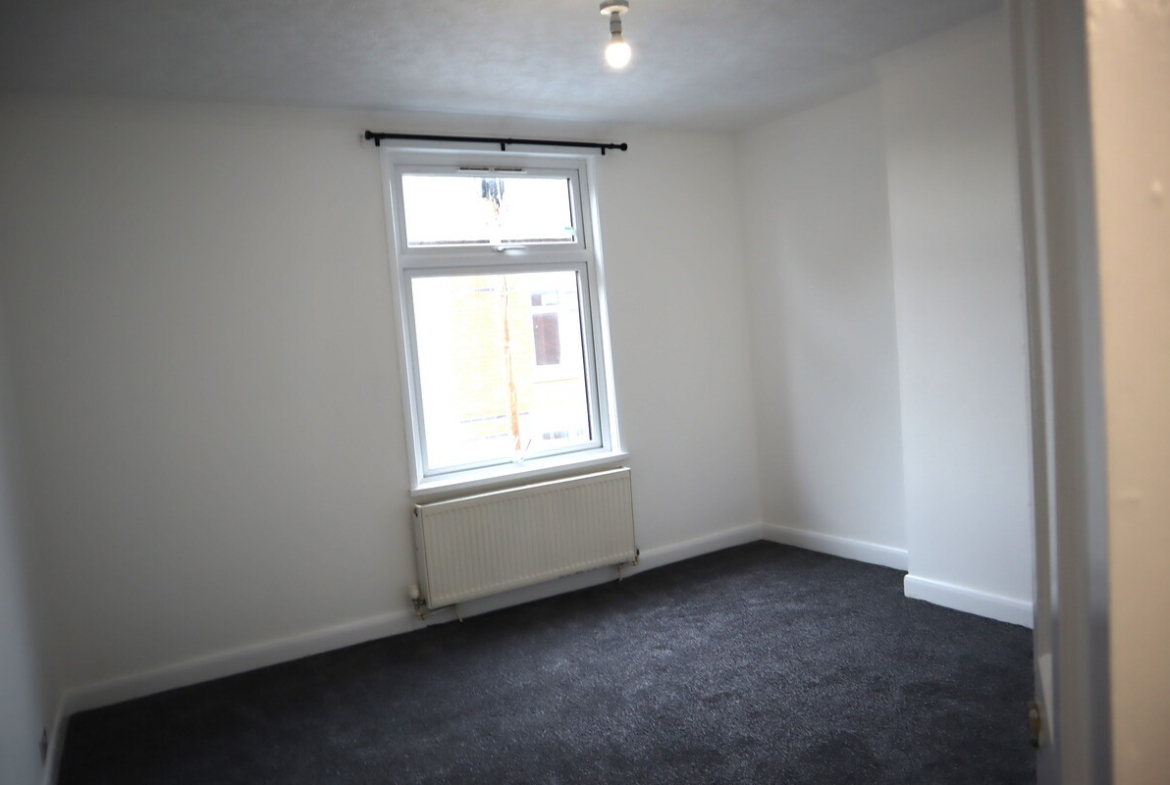
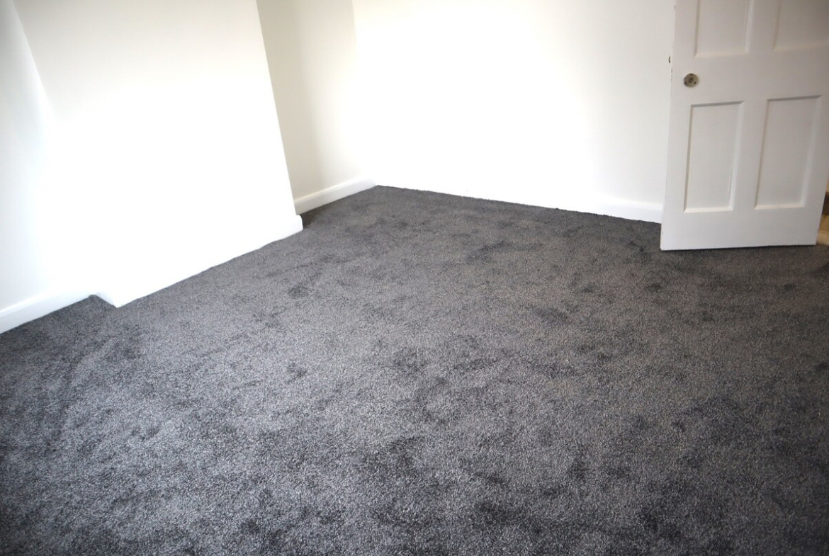
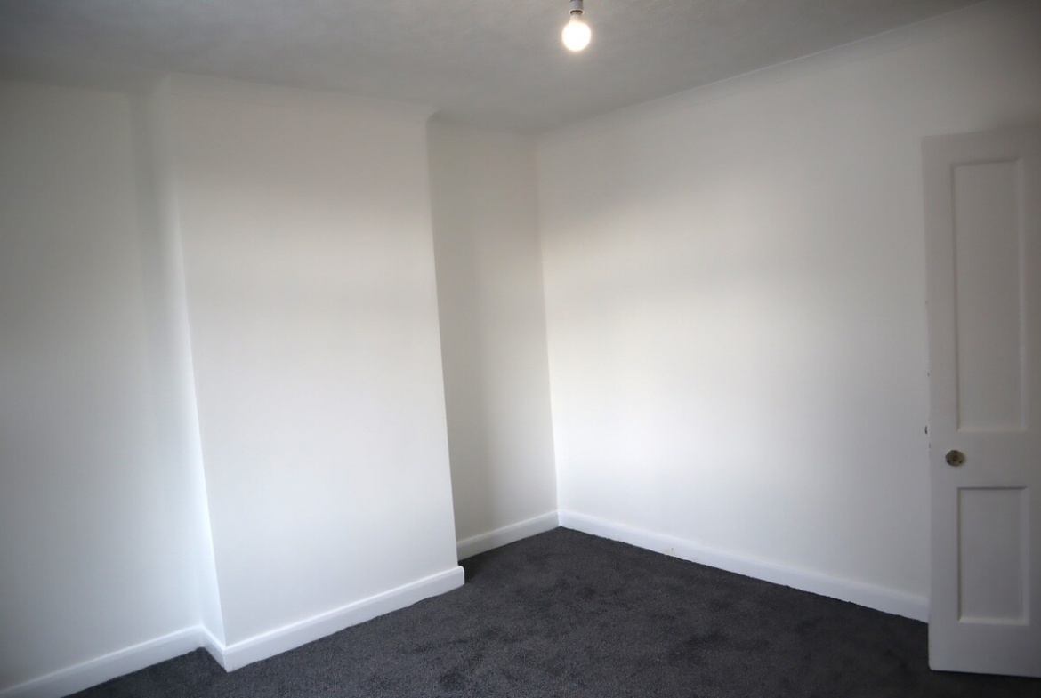
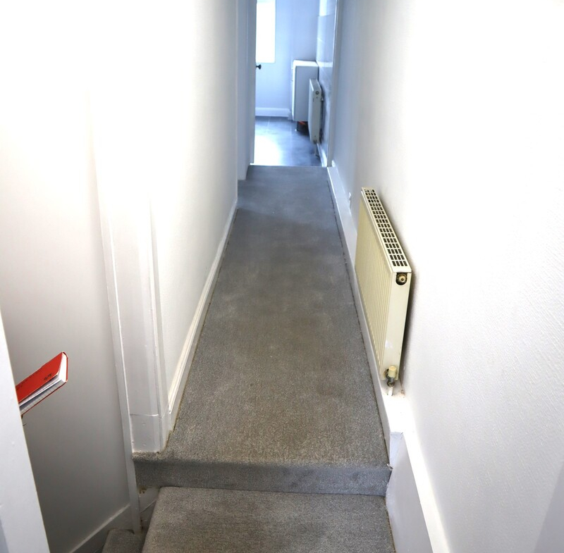
59 Bramall Road, Leicester, LE5 0PF –
Counsil Tax Band ‘A’ – Council Tax – £1685 approx
Property Location
59 Bramall Road, Leicester, LE5 0PF is situated in the North Evington/New Humberstone area of Leicester, an established residential location to the east of Leicester city centre. The property benefits from a convenient position close to local shops, schools, childcare facilities and regular public transport, while Leicester city centre and the city’s principal employment, education and healthcare facilities are readily accessible.
The surrounding neighbourhood is predominantly residential, with a good selection of everyday amenities nearby. Uppingham Road and the surrounding local shopping areas provide access to convenience stores,A supermarkets, pharmacies, restaurants and other services. The postcode is also particularly well placed for families, with several primary schools and nurseries within a short distance.
The area has good broadband provision, with ultrafast broadband reported as available within the postcode
Nurseries & Childcare
There are a number of childcare and early-years options within the wider LE5 area.
Humberstone Day Nursery, at 11–13 St Mary’s Avenue, Humberstone, is approximately 0.6 miles from the property. It provides full-day childcare for children from birth to five years and offers 8-, 9- and 10-hour daycare sessions, with funded places available for eligible three- and four-year-olds. The nursery describes its approach as child-centred, with indoor and outdoor learning environments and a key-person system.
Other nearby childcare options include:
•Humberstone Park Day Nursery, 301 Uppingham Road – approximately 0.4 miles.
•Little Footprints Nursery, 459 Uppingham Road – approximately 0.4 miles.
•Bright Bees Evington, 388 Coleman Road – approximately 0.6 miles.
•Banana Moon Day Nursery Hamilton, 208 Sandhills Avenue – approximately 1.5 miles.
•Kids Corner Nursery – Evington, 315 Gwendolen Road – approximately 1 mile.
•Hine Park Day Nursery, Highwood Drive – approximately 1.2 miles.
•Little Mu’mins Day Care Nursery, Rolleston Street – approximately 1.1 miles. Ddaynurseries.co.uk
For parents looking specifically for a nursery attached to a school, Spinney Hill Primary School Nursery provides a dedicated nursery class. Parents should confirm current availability, age requirements, fees and funded-place eligibility directly with each provider, as nursery places can change throughout the year.
Primary Schools
The property is particularly well positioned for primary education.
Merrydale Infant School on Claydon Road is approximately 0.14 miles away, while Merrydale Junior School is approximately 0.14–0.22 miles away. St Barnabas Church of England Primary School is approximately 0.20–0.22 miles away. These are among the closest schools to the property.
Other primary schools within the wider area include:
•Green Lane Infant School – approximately 0.48 miles.
•Sacred Heart Catholic Voluntary Academy – approximately 0.60 miles.
•Bridge Junior School – approximately 0.60 miles.
•Shenton Primary School – approximately 0.66 miles.
•Falcons Primary Academy – approximately 0.70 miles.
•Spinney Hill Primary School – approximately 0.74 miles.
•Rowlatts Mead Primary Academy – approximately 0.89 miles.
•Humberstone Infant/Junior schools – approximately 0.96 miles.
•Coleman Primary School – approximately 1.04 miles.
•Saint Patrick’s Catholic Primary School – approximately 1.08 miles.
Leicester City Council provides an online catchment-school checker, which should be used to establish the current designated/catchment school for the property, as catchment arrangements and admissions criteria can change. Sschoolinfo.leicester.gov.uk
Secondary Schools
There is also a good choice of secondary education within the surrounding area.
Nearby schools include:
•Mundella Community College – approximately 0.88 miles.
•Madani Girls’ School – approximately 1.2 miles.
•Madani Boys School – approximately 1.2 miles.
•Crown Hills Community College – approximately 1.1–1.2 miles.
•Moat Community College – approximately 1.2–2.1 miles.
•Rushey Mead Academy – approximately 1.3 miles.
•Avanti Fields School – approximately 1.1 miles.
•Jameah Boys Academy and Jameah Academy – within approximately 1 mile. SStreetScan+1
This gives families a broad range of mainstream, faith-based, single-sex and independent/academy options within the wider Leicester area.
Colleges & Sixth Forms
For older students, Gateway Sixth Form College is approximately 1.2 miles from the property. The college provides post-16 education and is therefore a convenient option for local students continuing their education after secondary school.
Other sixth-form and further-education options in Leicester include Beauchamp City Sixth Form, Regent College, and Leicester College. Leicester City Council also lists several further-education colleges and provides information concerning student transport arrangements.
Public Transport
One of the property’s strongest features is its access to local bus services.
The closest bus stops are around 150–195 metres from the LE5 0PF postcode, including stops at Smedmore Road/Hastings Road, Kitchener Road/Uppingham Road and St Barnabas Road/Uppingham Road. GGet the Data
These stops provide convenient access towards Leicester city centre and the surrounding eastern suburbs, including areas such as Humberstone, Evington, Spinney Hills, North Evington, Hamilton and the wider Leicester area.
The location also gives residents easy access to the main city-centre bus network. Leicester’s principal bus facilities include Haymarket Bus Station and St Margaret’s Bus Station, providing services to destinations throughout Leicester and beyond. UUHL NHS Trust
Leicester Railway Station
Leicester Railway Station is approximately 2.3 km (around 1.4 miles) from the postcode, making it readily accessible by bus, car, bicycle or on foot.
From Leicester station, residents have access to the national rail network, including direct services towards major destinations such as London, Nottingham, Derby and Birmingham, subject to the current timetable.
For longer-distance travel, the railway station therefore provides a particularly useful connection from the property.
Leicester City Centre
Leicester city centre is easily accessible from Bramall Road by both car and public transport. Local buses operating around Uppingham Road provide access towards the city centre, while Leicester Railway Station and the main bus stations are also within a relatively short distance.
The city centre provides an extensive range of shopping, restaurants, cafés, leisure facilities, employment opportunities, cultural attractions and professional services.
There is also a free city-centre Hop bus service connecting key locations including Haymarket Bus Station, Highcross, Jubilee Square, Leicester Royal Infirmary, Leicester Railway Station and the Market. The service currently operates every 10 minutes from 8am to 6pm Monday to Saturday, excluding bank holidays.
Leicester Royal Infirmary
The property is conveniently located for Leicester Royal Infirmary, approximately 1.1 miles away based on the location data available for the property area.
The hospital is accessible by road and public transport. Leicester’s Hospital Hopper service provides a particularly useful connection between Leicester Royal Infirmary, Leicester General Hospital and Glenfield Hospital, as well as Leicester Railway Station and other important locations. The service operates seven days a week, with the current timetable introduced in July 2026.
This is an important advantage for hospital employees, patients and families who need convenient access to Leicester’s major NHS facilities.
Leicester General Hospital
Leicester General Hospital, on Gwendolen Road, is approximately 3.6 km from the property based on current location data.
The hospital is particularly convenient for residents of the eastern side of Leicester. It is also linked to Leicester Royal Infirmary and Glenfield Hospital by the Hospital Hopper service, making it possible to travel between Leicester’s principal hospital
University of Leicester
The University of Leicester campus on University Road is approximately 1.7 km from the property based on current location data.
The university is situated just south of Leicester city centre and is accessible by road, bicycle and public transport. Leicester Railway Station is also nearby, providing an additional transport option for students and staff.
The relatively short distance makes 59 Bramall Road a potentially convenient location for students, university staff and families seeking access to the university campus.
De Montfort University
De Montfort University (DMU) is particularly accessible from the property, with the main campus approximately 0.8–1 km away based on current location data.
The university is situated close to Leicester city centre, meaning that students can make use of both the city’s bus network and Leicester Railway Station. The proximity of DMU, together with the University of Leicester, makes the property well positioned for access to Leicester’s two principal universities.
Overall Transport & Location Advantages
The location of 59 Bramall Road offers a combination of residential convenience and good city accessibility.
In summary:
•Local bus stops are approximately 150–195 metres from the postcode.
•Leicester Railway Station is approximately 2.3 km / 1.4 miles away.
•Leicester city centre is readily accessible by bus, car, bicycle or on foot.
•Leicester Royal Infirmary is approximately 1.1 miles away.
•Leicester General Hospital is approximately 3.6 km away.
•The University of Leicester is approximately 1.7 km away.
•De Montfort University is approximately 0.8–1 km away.
•There are several primary schools within a few hundred metres.
•There are numerous nurseries and childcare providers within approximately 0.5–1.5 miles.
•Gateway Sixth Form College is approximately 1.2 miles away.
•The area has access to the wider Leicester bus network and the Hospital Hopper service.
•Leicester’s main bus and railway facilities provide onward connections throughout the city and to destinations across the region and country.
Overall, 59 Bramall Road is well placed for families, students, professionals and commuters, benefiting from close proximity to schools and childcare, convenient local bus connections and relatively easy access to Leicester city centre, the railway station, major hospitals and both of Leicester’s universities. The combination of established residential surroundings and access to education, healthcare, shopping and transport makes the location particularly practical for day-to-day living.
Address
-
City: Leicester
-
State/county: Leicestershire
Details
Updated on September 11, 2026 at 1:11 pm-
Property ID HZ59BRAMALLRD
-
Price OFFERS IN THE RANGE OF £1,000
-
Bedrooms 2
-
Rooms 4
-
Bathroom 1
-
Property Status let agreed
Additional details
-
59, Bramall Road, Leicester LE5 0PF 1000
Schedule a Tour
Contact Information
View ListingsSimilar Listings
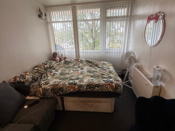
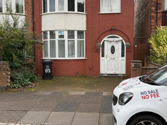
- FIX PRICE £850
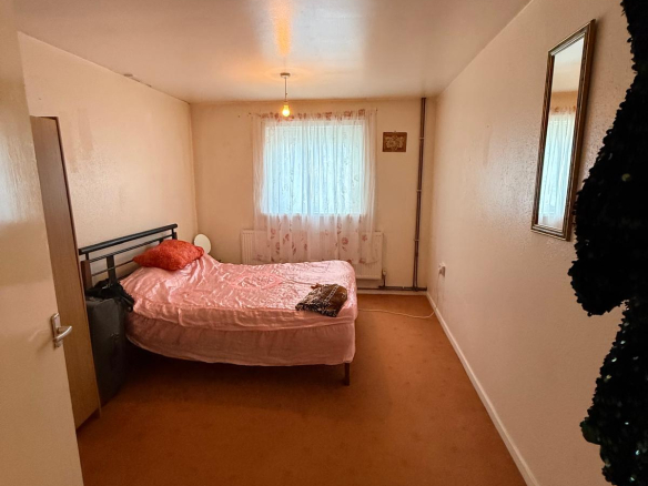

- Oryx23